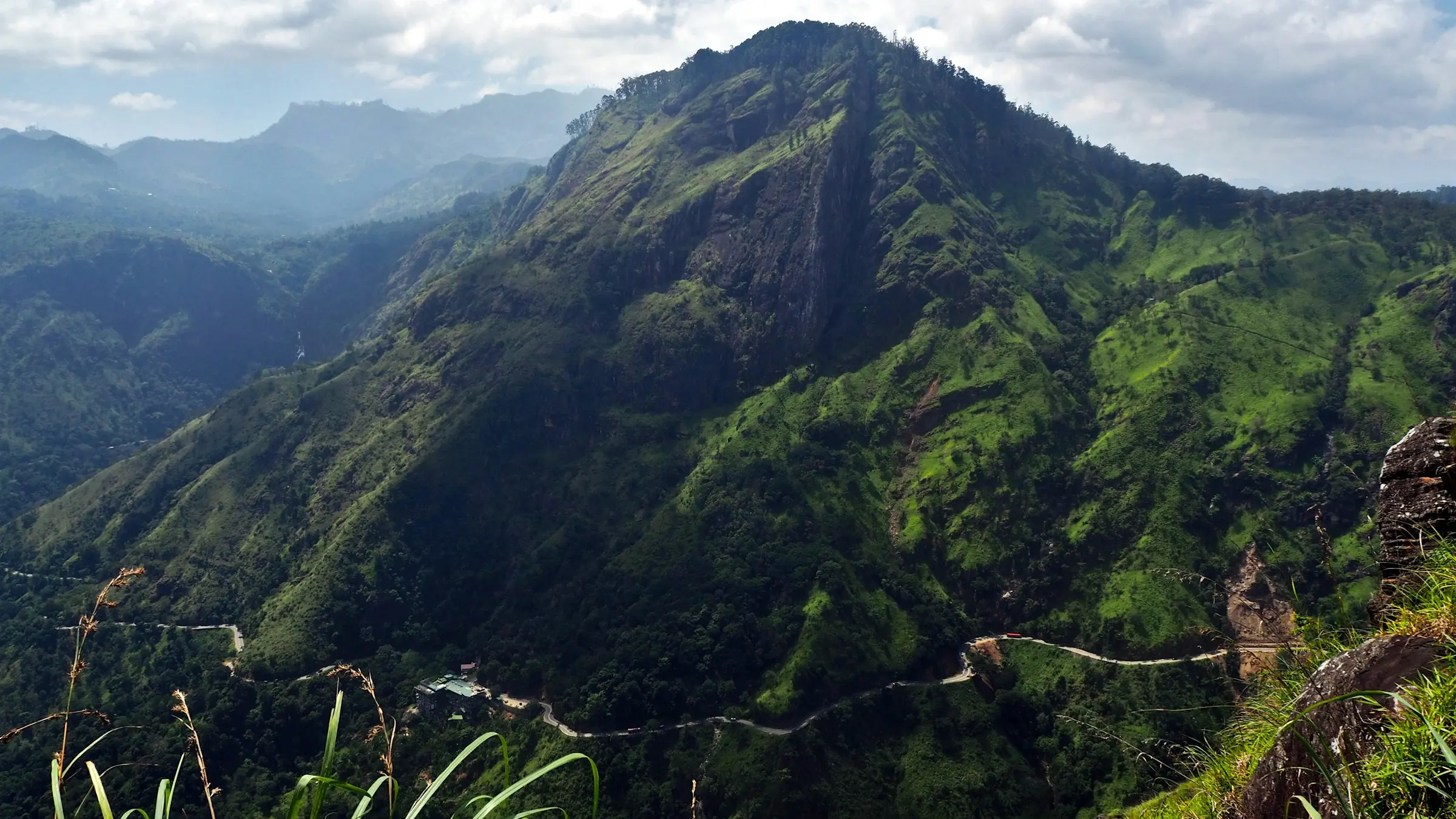
Location
A ridge in the Uva hills
High in Sri Lanka's hill country, where the tea estates give way to cloud forest. Close enough to reach in a morning, far enough that the nights are dark.
- 1,850 m
- Altitude
- 18–24 °C
- Days
- 10–14 °C
- Nights
- 4½ h
- From Colombo
By road By train
By road
The way up
0 h
Colombo
Leave after breakfast; the city thins out within the hour.
2 h
Ratnapura
The gem town. Stop for king coconut and a look at the river.
3 h
Belihuloya
Where the road starts to climb in earnest, past the waterfalls.
4 h
Haputale
The edge of the hills: on a clear day you can see the south coast.
4½ h
Ridgefall
The last bend climbs into the cloud. Tea is on the deck.
By train
The hill country line from Colombo or Kandy, through the tea estates. We meet you at the station.
From the airport
About 5 hours from Bandaranaike International. Arrive in daylight if you can.
The weather
Month by month
The exact way up is sent with your booking. The list hears first when bookings open.
Join the list
Next
Journal →
Building Ridgefall: from an old tea field to twelve cabins.